top of page

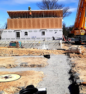
Saturn Skylens LLC offers drone solutions in wide variety of industries and applications since 2017. We specialize in aerial data collection, asset/site digitization support for Architecture, Engineering, Construction (AEC), solar/renewable energy visual/infrared inspections, topographic surveying support, high-accuracy mapping, orthomosaic/3D modeling, earth-stockpile volumetric measurements, site progress monitoring, commercial property management surveys, roof leak/HVAC/pavement inspections/modeling, historical data archiving, cloud data, stakeholder sharing.


bottom of page